Morocco
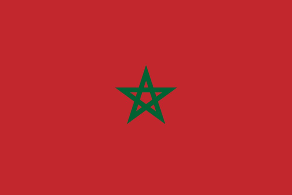
The Moroccan flag is a red field within the center of an emblem. The used colors in the flag are red, green. The proportion of the Moroccan flag is 2:3. The Flag of Morocco was adopted in 1915. The first use of the current flag design was in 1244. The last change to the current Moroccan flag design was in 1915.
Morocco borders Algeria to the east and southeast, Western Sahara to the south, the Atlantic Ocean to the west, and the Mediterranean Sea to the north. It is the only African country with coastal exposure to both the Atlantic Ocean and the Mediterranean Sea. Its area—excluding the territory of Western Sahara, which Morocco controls—is slightly larger than the U.S. state of California. Two small Spanish enclaves, Ceuta and Melilla, are situated on the country’s northern coast
The traditional domain of indigenous peoples now collectively known as Berbers (self-name Imazighen; singular, Amazigh), Morocco has been subject to extensive migration and has long been the location of urban communities that were originally settled by peoples from outside the region.
Morocco is ruled in a framework of an Islamic parliamentary constitutional hereditary monarchy. The Chief of the state is the king. The king is both, the political and spiritual leader, the “Commander of the Faithful;” he presides over the Council of Ministers and appoints various members of government.
Attempts by Europeans to establish permanent footholds in Morocco beginning in the late 15th century were largely repulsed, but the country later became the subject of Great Power politics in the 19th century. Morocco was made a French protectorate in 1912 but regained independence in 1956. Today it is the only monarchy in North Africa.
The Atlas and Rif ranges were formed during the Paleogene and Neogene periods (between about 65 to 2.6 million years ago) by the folding and uplifting of sediment that had accumulated in the Tethys Sea, which, at that time, bordered the northern coast of Africa
Most of Morocco lies at high elevations, averaging about 2,600 feet (800 meters) above sea level. Two chains of mountains divide eastern from Atlantic Morocco: the Rif Mountains in the north form a buffer along the Mediterranean coastline, whereas the Atlas Mountains create a barrier across the center. The two parts of the country are connected by the narrow Taza Gap in the northeast as well as by roads that follow older traditional routes.
Latest News
-
Fleeing the capital
25 March, 2021
-
The Global Property Guide
12 June, 2021
-
What migration policies are there in the world?
14 November, 2021
-
Marseille: international ambitions
20 November, 2021
-
The return of inflation, a global phenomenon
28 December, 2021
-
Portugal changes its image
5 January, 2022
-
ABRY IMMOBILIER: AUVERGNAT AND INTERNATIONAL
20 March, 2022

